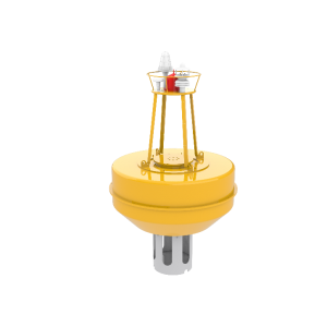
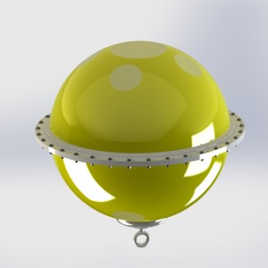
IP68 Titanium Alloy Marine Current Meter for Ocean Current Monitoring
Features
Superior Measurement & Durability
Proven Sensing Technology
Utilizes a stable electromagnetic sensor based on Faraday's law for consistent, accurate long-term measurements.
Advanced Motion Compensation
Built-in electronic compass and accelerometer measure yaw, pitch, and roll for real-time data correction on mobile platforms.
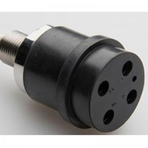
Engineered for Resilience
Features a compact, durable housing resistant to abrasion, impact, and corrosion for reliable operation in harsh conditions.
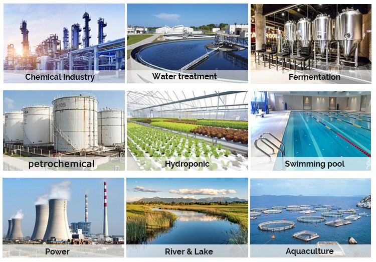
Applications
Oceanographic & Hydrographic Surveys
Environmental Monitoring & Impact Studies
Port, Harbor, and Coastal Engineering
Offshore Infrastructure Site Assessment
Long-term Monitoring on Fixed Platforms or Moored Buoys


Product Paramenters
| Product Name | Marine Current Meter |
| Measurement method | Principle: Thermistor temperature measurement Velocity of flow: Electromagnetic Induction Flow direction: Directional Current Meter |
| Range | Temperature: -3℃ ~ 45℃ Velocity of flow: 0~500 cm/s Flow direction: 0~359.9° : 8~24 VDC(55 mA[12 V]) |
| Accuracy | Temperature: ±0.05℃ Velocity of flow: ±1 cm/s or ±2% Measured Value Flow direction: ±2° |
| Resolution | Temperature: 0.001℃ Velocity of flow: 0.1 cm/s Flow direction: 0.1° |
| Voltage | 7.2~24 VDC(55mA/ 12V) |
| Material | Titanium Alloy |
| Size | Φ50 mm*415 mm |
| Maximum Depth | 1500 m |
| IP Grade | IP68 |
| Weight | 1kg |
Application
1. Oceanographic Research
Monitor tidal currents, underwater turbulence, and thermal gradients for climate and ecosystem studies.
2. Offshore Energy Projects
Assess current dynamics for offshore wind farm installations, oil rig stability, and cable laying operations.
3. Environmental Monitoring
Track pollutant dispersion and sediment transport in coastal zones or deep-sea habitats.
4. Naval Engineering
Optimize submarine navigation and underwater vehicle performance with real-time hydrodynamic data.
5. Aquaculture Management
Analyze water flow patterns to enhance fish farm efficiency and mitigate environmental impacts.
6. Hydrographic Surveying
Enables precise mapping of underwater currents for navigation charting, dredging projects, and marine resource exploration.