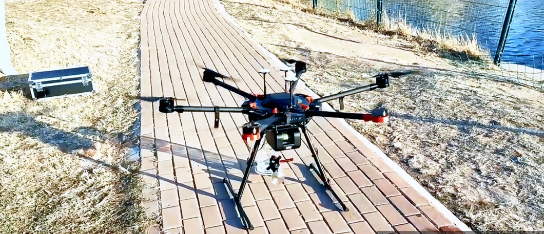
UAV-Mounted Comprehensive Sampling System
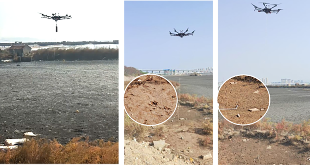
A "UAV + Payload" solution for coastal surveys, overcoming terrain, tide and manual limitations to deliver precise sediment and seawater sampling, with no personnel safety risks.

Frankstar integrates two advanced UAV-borne solutions: Comprehensive Sampling System and Polarimetric Hyperspectral Imaging System. Combining high-precision sampling with multi-dimensional remote sensing, it enables efficient, safe data collection for nearshore, coastal and complex terrain applications.
Key Features
Sub-meter positioning (≤1m) for precise alignment in coastal winds
Tool-free quick-release payload for rapid assembly and multi-point sampling
Anti-entanglement protection (emergency cable cut-off + automatic routing)
All-weather adaptability for stable operation in light rain and moderate wind
Applications
Nearshore/coastal environmental baseline surveys
Intertidal zone ecological & sediment sampling
Coastal water quality monitoring & emergency pollution sampling
Marine engineering pre/post-construction surveys