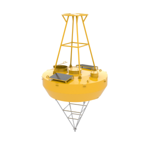
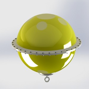
Lagrange Drifting Buoy | Ocean Surface Current, Temperature and Salinity Observation System
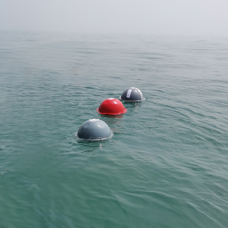

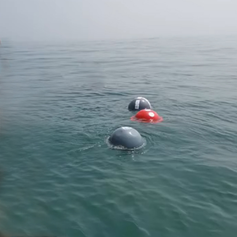

Lagrange Drifting Buoy | Ocean Surface Current, Temperature and Salinity Observation System,
,
Technical Parameters
| Iterm: | Index |
| Size | φ504mm |
| Meterail | High strength modified polycarbonate |
| Location via | GPS or Beidou |
| Transmission frequency. | Default 1 hour, tunable: 1 min~12 h |
| Temp Sensor | Range:-10~50℃, accuracy:0.1℃ |
| Data transmission | Default Iridium(multiple options: Beidou/Tiantong/4G) |
| Set and testing mode | Remote |
| Sail wideth | φ90 cm, H:4.4m |
| Sail depth | 1~20m |
| Net weight |
12Kg |
| Drift trace | Auto |
| On/off mode | Single contact Magne-switch |
| Work Temp | 0℃-50℃ |
| Storage Temp | -20℃-60℃ |
Understanding ocean movement is essential for marine science, climate research, environmental monitoring, and ocean circulation studies.
Unlike fixed observation platforms, drifting buoys move with ocean currents, allowing researchers to observe the actual movement of water masses over time. This observation method is known as Lagrangian observation, where the instrument follows the flow of the surrounding water.
The FrankStar Lagrange Drifting Buoy is designed for ocean surface current observation and marine environmental monitoring. Equipped with positioning and sensing technologies, the buoy can collect information about ocean movement and environmental conditions while drifting with surface currents.
By providing time-series location and ocean observation data, Lagrangian drifting buoys help researchers better understand surface circulation patterns, current transport processes, and marine environmental changes.
What Is a Lagrange Drifting Buoy?
A Lagrange Drifting Buoy, also known as a Lagrangian drifter, is a floating observation platform that moves with ocean currents while recording environmental data.
The main difference between a drifting buoy and a fixed buoy is the observation approach:
Fixed buoy: Measures conditions at a specific location.
Drifting buoy: Follows water movement and observes the trajectory of a water parcel.
Because the buoy travels with the surrounding flow, the collected trajectory data can provide direct information about surface current movement.
A typical drifting buoy system may include:
GPS positioning module
Data acquisition system
Communication system
Temperature sensor
Conductivity/salinity sensor (depending on configuration)
Battery power system
Surface float and underwater drogue components
The actual sensor configuration depends on the application requirements.
What Is Lagrangian Ocean Observation?
Ocean observation methods are generally divided into two categories:
Eulerian Observation
Eulerian observation measures ocean conditions at a fixed position.
Examples include:
Mooring buoys
Fixed ocean stations
Tide gauges
Bottom-mounted instruments
These systems answer questions such as:
“What is happening at this specific location?”
Lagrangian Observation
Lagrangian observation follows the movement of water as it travels.
Examples include:
Drifting buoys
Surface drifters
Subsurface floats
These systems answer questions such as:
“Where does this water move and how does it transport materials?”
Lagrangian observations are particularly valuable for studying:
Ocean circulation
Surface current pathways
Water transport processes
Climate-related ocean changes
Marine pollution movement
How Does a Lagrange Drifting Buoy Work?
A drifting buoy operates by combining floating technology, positioning systems, and environmental sensors.
Step 1: Deploy the Drifting Buoy
The buoy is released into the ocean from a research vessel, coastal platform, or other deployment location.
The deployment location is recorded as the starting point of the observation.
Step 2: Drift with Ocean Currents
After deployment, the buoy moves according to the surrounding surface current conditions.
The movement of the buoy represents the movement of the water layer that the drifter is designed to observe.
Step 3: Collect Position Data
The integrated GPS system records the buoy’s location at scheduled intervals.
Continuous position records create a trajectory showing the path of ocean movement.
Step 4: Measure Environmental Parameters
Depending on configuration, the buoy can collect environmental data such as:
Sea surface temperature
Conductivity
Salinity
Other marine parameters
These observations provide additional information about the water mass being tracked.
Step 5: Transmit or Store Data
The collected data can be stored locally or transmitted through a suitable communication system depending on the application requirements.
Researchers can analyze the data to understand current movement and environmental changes.
Key Features of FrankStar Lagrange Drifting Buoy
GPS-Based Position Tracking
Accurate position information is the foundation of drifting buoy observation.
GPS tracking allows researchers to:
Monitor buoy movement
Calculate drift trajectories
Analyze current direction
Study surface circulation patterns
The trajectory data provides direct evidence of ocean surface movement.
Surface Current Observation
One of the primary purposes of a Lagrangian drifter is observing surface current behavior.
By tracking the movement of the buoy over time, researchers can study:
Current speed
Current direction
Transport pathways
Circulation patterns
Seasonal changes
Temperature Observation
Sea surface temperature is an important oceanographic parameter.
Temperature data from drifting buoys can support studies of:
Ocean warming
Water mass changes
Climate variability
Marine ecosystem conditions
Salinity Observation
When equipped with conductivity sensors, drifting buoys can provide salinity information.
Salinity observations are valuable for understanding:
Freshwater influence
Ocean mixing
Water mass characteristics
Circulation processes
Autonomous Long-Term Observation
Drifting buoys are designed for unattended operation after deployment.
They can collect observations over extended periods, making them valuable for studying ocean processes across large spatial areas.
Applications of Lagrange Drifting Buoys
Ocean Current Research
Ocean currents play an important role in transporting heat, nutrients, pollutants, and marine organisms.
Drifting buoy trajectories provide direct observations of current movement and help researchers study:
Surface circulation
Current variability
Ocean transport processes
Regional circulation systems
Marine Environmental Monitoring
Ocean movement influences how materials spread in marine environments.
Drifter data can support studies related to:
Marine pollution transport
Floating material movement
Environmental risk assessment
Coastal water exchange
For pollution response applications, drifter observations can provide valuable information about surface transport patterns.
Climate and Ocean Research
Surface currents are closely connected with climate processes.
Lagrangian observations contribute to research on:
Ocean-atmosphere interactions
Heat transport
Climate variability
Long-term ocean changes
Search and Rescue Support
Ocean currents strongly influence the movement of floating objects.
Drifting buoy data can support current analysis that may contribute to:
Search and rescue planning
Marine emergency response studies
Surface drift prediction
Actual operational use depends on the available data, communication speed, and response requirements.
Fisheries and Marine Ecosystem Research
Ocean currents affect:
Nutrient transport
Larval distribution
Marine habitat conditions
Biological productivity
Drifting buoy observations can complement biological and ecological studies by providing information about water movement.
Coastal Current Monitoring
Coastal regions experience complex current patterns influenced by:
Tides
Wind
River discharge
Coastal geometry
Drifting buoys can help researchers understand nearshore circulation and water exchange processes.