The ocean covers approximately 71% of the Earth’s surface. From typhoon path forecasting and the development of marine ranches to ensuring safe maritime navigation and mitigating marine disasters—and extending even to global climate change research—virtually every modern marine science inquiry relies on one critical resource: ocean data.
For those just entering the marine field, the true challenge is often not a “lack of data,” but rather an “overabundance of data.” In reality, ocean data does not exist in isolation; instead, it has evolved into a comprehensive ecosystem encompassing “observation—remote sensing—modeling—assimilation—intelligent analysis.”
Why is Marine Science Becoming Increasingly Dependent on Data?
In the past, humanity relied primarily on research vessels, buoy stations, and manual observations to understand the ocean. While this approach offered high precision, it suffered from limited spatial coverage and lengthy observation cycles.
Today, with advancements in satellite remote sensing, automated observation platforms, Argo floats, numerical models, and data assimilation technologies, ocean observation has entered a true “Big Data” era. Its defining characteristics can be summarized as: massive scale, extensive coverage, high velocity, and multidimensional richness.
- Data volume has scaled up from the gigabyte (GB) level to the petabyte (PB) level.
- Temporal scope has expanded from mere decades to spans exceeding a century.
- Spatial coverage now encompasses the entire global ocean.
- Observed parameters span multiple dimensions, including sea surface temperature, salinity, ocean currents, waves, wind fields, chlorophyll concentrations, sea ice, and more.
Concurrently, data resolution continues to improve—whereas global ocean models historically featured a common resolution of 1°, they are now advancing toward 1/12° resolution, or even sub-kilometer scales. Our capacity to study fine-scale ocean structures—such as mesoscale eddies, coastal fronts, and internal waves—has reached a level far beyond what was previously possible.
Where Does Ocean Data Primarily Come From?
The global ocean data ecosystem is collectively constituted by international marine organizations, meteorological centers, satellite systems, and national observation networks across the globe.
- NOAA (USA): One of the world’s most critical sources of ocean data, providing a suite of free, open-access, and long-term historical data products—including the NCEP/NCAR Reanalysis, ICOADS observational records, AVHRR sea surface temperature data, and the GFS global forecasting system.
- Europe (ECMWF & ESA): ECMWF’s ERA5 reanalysis data has become the most critical source of atmospheric forcing data for air-sea interaction research; ESA’s Sentinel satellite series demonstrates significant advantages in SAR remote sensing, high-precision sea surface observation, and sea ice monitoring.
- Asia (JMA): The Japan Meteorological Agency’s (JMA) COBE-SST data is widely utilized in research concerning the Northwest Pacific, ENSO, and East Asian climate.
What types of ocean data exist?
Modern ocean data is primarily categorized into four major types: bathymetric data, remote sensing data, in-situ observation data, and reanalysis data.
Seafloor Bathymetric Data
This constitutes the foundation for all oceanographic research. If one were to liken ocean numerical modeling to “constructing a building,” then bathymetry—the depth and topography of the ocean floor—would serve as the “foundation.” The most classic global bathymetric datasets include ETOPO and GEBCO; the latter has become the internationally recognized standard base map for seafloor topography.
Satellite Remote Sensing Data
This serves as the “main force” in modern ocean observation. Its key advantages lie in its extensive spatial coverage, rapid update frequency, and capacity for simultaneous global observation.
- Sea Surface Temperature (SST): Datasets such as MODIS, AVHRR, and OISST are widely employed in research involving ENSO, marine heatwaves, the Kuroshio Current, and fisheries forecasting.
- Sea Surface Wind Fields: Primarily derived from scatterometer satellites (e.g., ASCAT, SeaWinds, and China’s HY-2 series), these data are crucial for studies on typhoons, wind-generated waves, and air-sea interactions.
- Sea Surface Height (SSH): Altimeter satellites—such as TOPEX/Poseidon, Jason, and HY-2A—monitor sea-level variations, mesoscale eddies, and the trajectory of the Kuroshio Current.
- Synthetic Aperture Radar (SAR): Characterized by all-weather, all-day, and high-resolution capabilities, SAR can acquire sea surface information even at night or beneath cloud cover. It is widely applied in the monitoring of sea ice, oil spills, internal waves, ocean waves, and maritime vessels.
In-situ Observation Data
Although spatial coverage is limited compared to remote sensing, these data offer the highest level of accuracy and serve as a vital benchmark for all oceanographic research.
- Argo Buoys: Functioning like “automated CTDs” drifting throughout the global ocean, these floats periodically descend and ascend to automatically measure temperature, salinity, and pressure, transmitting the data back in real-time. The thousands of Argo floats currently deployed worldwide collectively constitute the largest-scale ocean observation network in human history.
- CTD Observations: These remain the “standard equipment” in oceanographic surveys, providing high-precision profiles of temperature and salinity.
Where is the future of ocean data headed?
The future trajectory of ocean data development is clear and resolute:
- Higher Resolution: Advancing from kilometer-scale to hundred-meter-scale resolution.
- Enhanced Real-time Capabilities: Gradually establishing a comprehensive “Real-time Ocean” system.
- Multi-source Fusion: Integrating satellites, buoys, numerical models, unmanned platforms, and AI to operate in concert.
- Intelligentization: Artificial intelligence has become deeply embedded in marine science—encompassing AI-driven ocean forecasting, reconstruction of missing data, eddy detection, remote sensing retrieval, and more.
Marine science is entering a brand-new era:
Ocean Big Data + Artificial Intelligence = The Core Engine of Future Ocean Research
We firmly believe that the true value of data lies in its efficient acquisition, profound interpretation, and intelligent application.
Looking forward to communicate with you for deeper conversation. 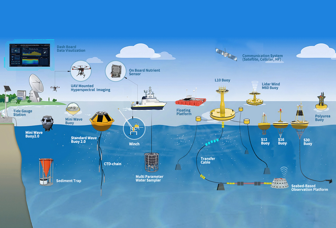
Post time: Jun-02-2026